| CPC G08G 1/148 (2013.01) [G16Y 10/40 (2020.01)] | 6 Claims |
|
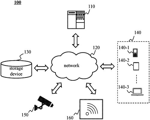
1. A method for managing a parking lot in a smart city based on an Internet of Things, which is executed by a management platform, the method comprising:
obtaining a user position of a user platform based on a service platform, determining a candidate parking lot that meets a preset condition;
determining time when a vehicle to be parked arrives at the candidate parking lot based on the user position;
determining, through processing a parking lot association map based on a graph neural network model, free parking space information when the vehicle to be parked arrives at the candidate parking lot; wherein the parking lot association map includes nodes and edges, nodes of the parking lot association map include candidate parking lot nodes and nearby place nodes, feature of the candidate parking lot nodes includes information of the candidate parking lot, the current parking ratio and a representation vector of the candidate parking lot; wherein the representation vector includes a pedestrian flow and a score of the candidate parking lot; feature of the nearby place nodes includes a type of the nearby place, and the current pedestrian flow in the nearby place; and edges of the parking lot association map are used for interconnection of the candidate parking lot nodes which satisfy a first preset condition and connection of the candidate parking lot nodes which satisfy a first preset condition and the nearby place nodes;
a manner for determining the representation vector including:
removing the candidate parking lot nodes and the nearby place nodes and associated edges that do not meet a proximity requirement to obtain a sub-map through filtering based on the proximity between the candidate parking lot nodes and other nodes of a first map; nodes of the first map include the candidate parking lot nodes, the nearby place nodes, and the parking ratio level nodes; the feature of the candidate parking lot nodes in the first map further includes a parking time feature of parking space of the candidate parking lot; and the edges of the first map are further used for the connection between the candidate parking lot node that satisfies a second preset condition and the parking ratio level node;
removing the parking ratio level nodes and connected edges that do not correspond to a type of time to obtain a target sub-map through filtering the sub-map based on a type of current time, wherein the type of time includes weekday and holiday;
determining the representation vector through inputting the target sub-map into an extraction model; wherein the extraction model is obtained based on training a similarity judgment model, the similarity judgment model includes two vector extraction layers and a similarity judgment layer, and the trained vector extraction layer is used as the extraction model;
determining recommendation information based on the free parking space information; and
sending the recommendation information to the user platform based on the service platform.
|