| CPC G01V 1/3808 (2013.01) [B63B 35/68 (2013.01)] | 13 Claims |
|
1. A system, comprising:
one or more processors; and
one or more non-transitory computer readable media or memories having program instructions stored thereon that are executable by the one or more processors to:
during a marine geophysical survey being performed in a body of water over a survey area:
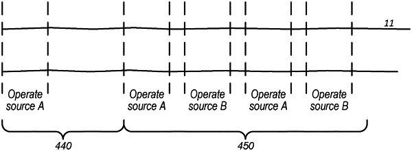
tow a survey system comprising a set of one or more vibratory signal sources;
while the survey system is moving, detect when the survey system is targeting a portion of interest in the survey area, wherein the detecting step is based on one or more of:
geodetic positions of the vibratory signal sources and of seismic sensors located in the survey area;
characteristics of one or more survey traces generated by the seismic sensors responsive to seismic energy that is reflected from one or more reflectors disposed below a water bottom in the survey area; and
depth of the water bottom in the targeted area;
cause the set of one or more vibratory signal sources to exhibit a first output characteristic when the survey system is targeting the portion of interest; and
cause the set of one or more vibratory signal sources to exhibit a second output characteristic, different than the first output characteristic, when the survey system is not targeting the portion of interest;
wherein the causing steps comprise varying at least one output parameter configured to control the one or more vibratory signal sources.
|