| CPC G01S 7/4808 (2013.01) [G01C 21/30 (2013.01); G01S 17/42 (2013.01); G01S 17/89 (2013.01); G06F 18/251 (2023.01)] | 18 Claims |
|
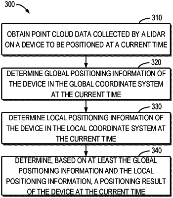
1. A method, comprising:
obtaining point cloud data collected by a LiDAR on a device at a first time;
determining, based on the point cloud data and a global map built in a global coordinate system, first global positioning information of the device in the global coordinate system at the first time;
determining, based on the point cloud data and a first local map built in a local coordinate system, first local positioning information of the device in the local coordinate system at the first time, wherein the first local map includes a number of frames of historical point cloud and is updated by incorporating the point cloud data at the first time until the number of frames reaches a threshold;
determining, based on at least the first global positioning information and the first local positioning information, a first positioning result of the device at the first time;
in a case that the number of frames in the first local map reaches the threshold, building a second local map by incorporating the point cloud data and frames of point cloud data after the first time; and
in a case that a number of frames in the second local map reaches the threshold, discarding the first local map.
|