| CPC E21B 47/06 (2013.01) [E21B 47/138 (2020.05); G06T 17/00 (2013.01); E21B 2200/20 (2020.05); E21B 2200/22 (2020.05)] | 20 Claims |
|
1. A computer-implemented method, comprising:
monitoring, by a heterogeneities mapping application executed by surface equipment providing production control of multiple wells that are producing in a main reservoir, downhill pressure gauges of the multiple wells;
initiating, by the heterogeneities mapping application subsequent to the monitoring, a command for a simultaneous field shut-in of the multiple wells;
receiving, by the heterogeneities mapping application through a network from down-hole pressure gauges, pressure data for the multiple wells of the main reservoir during the simultaneous field shut-in of the multiple wells of the main reservoir;
determining, by the heterogeneities mapping application during the simultaneous field shut-in of the multiple wells and using the pressure data for each well of the multiple wells, a scaled rate of change of pressure for each well of the multiple wells;
plotting, by the heterogeneities mapping application and using the scaled rates of change of pressure, a diagnostic plot including rates of change of pressure for the multiple wells;
determining, by the heterogeneities mapping application and based on the plotting, clusters of wells having rates of change of pressure within a threshold difference of other wells in a given cluster;
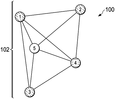
generating, by the heterogeneities mapping application and based on the clusters of wells, a detailed heterogeneities map of the main reservoir, wherein the detailed heterogeneities map defines heterogeneous regions, each heterogeneous region containing a set of wells assigned to the heterogeneous region based on the wells having similar rates of change of pressure;
providing, by the heterogeneities mapping application for display at the surface equipment, the detailed heterogeneities map of the main reservoir; and
building, by the heterogeneities mapping application and using at least the detailed heterogeneities map of the main reservoir and core and log data obtained during production of the main reservoir, a geological model of the main reservoir.
|