| CPC G06V 20/56 (2022.01) [G06T 7/74 (2017.01); G06T 2207/30252 (2013.01)] | 20 Claims |

|
1. A computer-implemented method for determining an occupancy map of a vicinity of a vehicle, the method comprising:
(i) successively acquiring sensor data from a sensor system of the vehicle;
(ii) determining object detections based on the acquired sensor data;
(iii) overlaying the determined object detections in a spatial representation of the vicinity of the vehicle to determine the occupancy map;
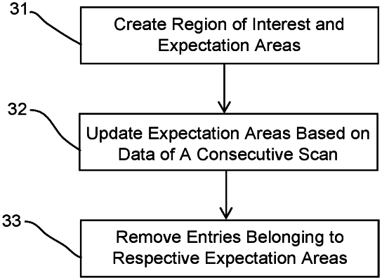
(iv) defining, for at least one of the object detections of a first data acquisition process, a position of an expectation area extending around the at least one of the object detections;
(v) adjusting, if an object detection of a second data acquisition process is present within the expectation area and a predefined stop criterion is not fulfilled, the position of the expectation area based on a difference between a position of the at least one of the object detections of the first data acquisition process and a position of the object detection of the second data acquisition process; and
(vi) removing at least one of the at least one of the object detections of the expectation area from the occupancy map if no object detection can be determined in the expectation area for a predetermined number of successive data acquisition processes.
|