| CPC G06F 30/27 (2020.01) [G06F 30/13 (2020.01)] | 20 Claims |
|
1. A method of quantifying building metrics related to code compliance based upon artificial intelligence analysis of a two-dimensional representation, the method comprising the steps of:
a. receiving into a controller the two-dimensional representation of at least a portion of a building and with the controller, determining that the two-dimensional representation comprises a vector diagram;
b. representing the vector diagram included in the two-dimensional representation as a first raster image comprising a pattern of pixels;
c. specifying a range of image size for input into an artificial intelligence (“AI”) engine;
d. analyzing the first raster image representing the vector diagram in the two-dimensional representation with the AI engine operative on the controller to ascertain multiple components comprising architectural aspects and walls included in the two-dimensional representation and represented as a pattern of pixels in the first raster image;
e. identifying an item of known length in the first raster image representing the vector diagram;
f. generating a first interactive user interface comprising vertices including dynamic lines and dynamic polygons to represent at least some of the multiple components included in the two-dimensional representation comprising dynamic components at least one parameter changeable via the first interactive user interface;
g. arranging multiple dynamic components descriptive of architectural aspects and walls in the first interactive user interface into two or more adjacent regions, each of the two or more adjacent regions defined by a first set of boundaries;
h. with the controller, assessing parameters for the two or more adjacent regions and allocating a dominance rank with each of the two or more adjacent regions based upon the assessed parameters;
i. with the controller, referencing a dominance scheme, allocating an area included in the first set of boundaries to one of two adjacent regions based upon the dominance rank allocated with each of the two adjacent regions;
j. with the controller, referencing the first set of boundaries, generating an area of a first feature based in part upon the allocation of the area included in the first set of boundaries to one of the two adjacent regions;
k. with the AI engine, and referencing the area of the first feature and a square foot per occupant specified in a code designated by an authority having jurisdiction and based upon an adopted fire protection code, calculating an occupancy load for the first feature;
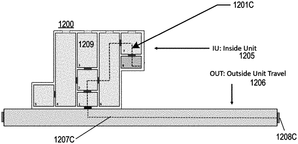
I. with the AI engine and referencing the length of a second feature calculating a travel distance to a point of egress from a point within the first feature that is furthest from the point of egress and along a path of egress a person exiting the first feature may travel maintaining a minimum set off distance from a wall;
m. comparing the occupancy load with the code designated by the authority having jurisdiction, and comparing the travel distance to the point of egress from a point in a first area furthest from the point of egress with the code designated by the authority having the jurisdiction; and
n. generating a user interface indicating a status of whether the building is in compliance with the code designated by the authority having the jurisdiction.
|