| CPC B60W 40/06 (2013.01) [B60W 10/22 (2013.01); G06T 7/246 (2017.01); G06V 20/584 (2022.01); B60W 2554/00 (2020.02); B60W 2554/80 (2020.02)] | 18 Claims |
|
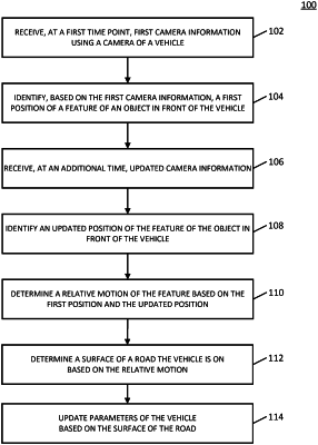
1. A method for determining a ground characteristic, comprising:
obtaining one or more images from a camera associated with a first vehicle;
identifying positions, in the one or more images, of a feature of a second vehicle proximate the first vehicle while the second vehicle encounters the ground characteristic;
determining, based on the positions of the feature, a motion of the feature of the second vehicle;
analyzing the motion of the feature of the second vehicle as a vector or matrix indicating a change in position over time;
identifying, via a machine learning classification algorithm, a correlation between the ground characteristic and the motion of the feature of the second vehicle, wherein the machine learning classification algorithm is used to correlate the vector or matrix indicating the change in position over time with previously captured vectors or matrices indicating previously experienced changes in position over time and corresponding previously encountered ground characteristics; and
changing at least one control parameter of the first vehicle based on the identified correlation between the vector or matrix indicating the change in position over time with the previously captured vectors or matrices indicating previously experienced changes in position over time and corresponding previously encountered ground characteristics.
|