| CPC G01V 1/282 (2013.01) [G01V 1/303 (2013.01)] | 20 Claims |
|
1. A method comprising:
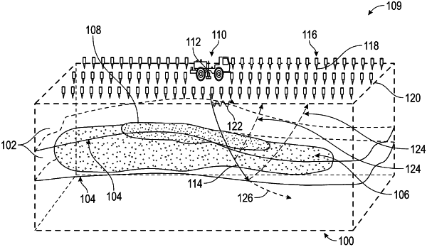
obtaining seismic data based on a seismic survey of a geological region of interest, wherein the seismic data comprises an amplitude and a phase of seismic waves traveling from a seismic source location to each of a plurality of seismic receiver locations;
obtaining a velocity model comprising a velocity at each of a plurality of grid nodes, wherein the plurality of grid nodes represents the geological region of interest;
obtaining an attenuation model comprising an attenuation factor at each of the plurality of grid nodes;
determining, by a computer processor, a traveltime model using the seismic source location, the velocity model, and a traveltime Eikonal function, wherein the traveltime model comprises a traveltime at each of the plurality of grid nodes;
determining, by the computer processor, an attenuated traveltime model using a parallel fast sweeping method,
wherein the attenuated traveltime model comprises an attenuated traveltime at each of the plurality of grid nodes,
wherein the parallel fast sweeping method comprises Cuthill-McKee ordering the plurality of grid nodes into a plurality of levels for each of a plurality of sweeps,
wherein the parallel fast sweeping method further comprises using the seismic source location, the velocity model, the attenuation model, the traveltime model, and an attenuated traveltime Eikonal function, and
wherein the attenuated traveltime at each of the plurality of grid nodes within each of the plurality of levels are determined in parallel; and
generating, by the computer processor, an updated attenuation model of the geological region of interest using the attenuated traveltime model, the amplitude, and the phase.
|