| CPC G01S 13/885 (2013.01) [G01S 7/411 (2013.01); G01S 13/89 (2013.01)] | 14 Claims |
|
1. A computer-implemented method for detecting buried longitudinal structures using a ground-penetrating radar, the computer-implemented method comprising the steps of:
measuring, with the ground-penetrating radar, acquiring a plurality of radar signals for a region of ground,
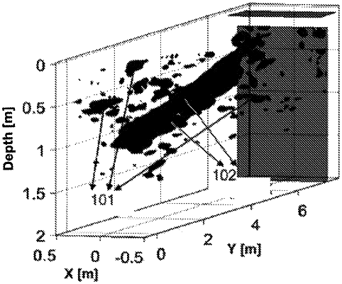
determining with a processor, based on said radar signals, a 3D point cloud, each point corresponding to one radar detection and being geolocated in space,
searching with the processor for at least one set of substantially aligned points in the 3D point cloud by:
i. for each straight line among a set of straight lines of a 3D space, determining a number of points of the 3D point cloud that are located at a distance smaller than a predetermined minimum distance from the straight line, and
ii. determining at least one straight line for which said number of points is higher than a predetermined minimum detection threshold, the points located at a distance from this straight line smaller than a minimum distance characterizing a longitudinal structure, and
detecting at least a buried longitudinal structure from the at least one set of substantially aligned points.
|