| CPC G06T 19/006 (2013.01) [G06F 3/012 (2013.01); G06F 3/04815 (2013.01); G06T 7/20 (2013.01); G06T 7/246 (2017.01); G06T 7/73 (2017.01); G06T 13/80 (2013.01); G06T 19/20 (2013.01); G06V 20/10 (2022.01); G06V 20/20 (2022.01); G06T 2200/04 (2013.01); G06T 2207/30244 (2013.01); G06T 2219/2004 (2013.01); G06V 2201/07 (2022.01)] | 20 Claims |
|
1. A method comprising:
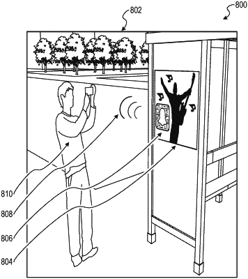
obtaining, by a computing system including memory and one or more processors, image data corresponding to an image of an environment, wherein the image includes a building and a graphic and the image is captured by an image sensor;
retrieving, by the one or more processors, building location information describing one or more location points for at least a first building;
processing, using the one or more processors, the image data with respect to the building location information to identify a match between at least a portion of the image that includes the building and one or more location points of the building;
determining, by the one or more processors, alignment information based on the graphic, the alignment information including at least one of position information, elevation information, or size information of the graphic; and
calculating, using the one or more processors, a position estimate of the image sensor based on the alignment information and the match between the at least the portion of the image data that includes the building and the one or more location points of the first building.
|