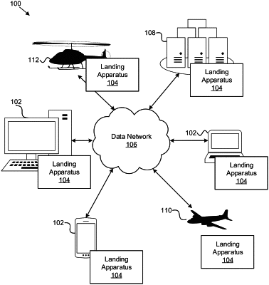
| CPC G01C 23/00 (2013.01) [G01C 21/005 (2013.01); G01C 21/20 (2013.01); G06T 17/05 (2013.01); G06V 10/34 (2022.01); G06V 20/17 (2022.01); G06V 20/58 (2022.01); H04N 23/90 (2023.01); H04N 23/51 (2023.01)] | 20 Claims |

|
1. A system, comprising:
one or more imaging sensors coupled to an aircraft;
one or more navigation sensors coupled to the aircraft proximate to the one or more imaging sensors;
an imaging module configured to capture images of a landing zone for the aircraft while the aircraft is in flight, wherein the captured images are captured using the one or more imaging sensors;
a location determining module configured to associate a corresponding one of a plurality of location data with each one of the captured images, wherein the plurality of location data is determined using the one or more navigation sensors coupled to the aircraft; and
an object-identifying module configured to apply a point-cloud transformation to the captured images to generate a point cloud by converting image data from a first coordinate frame of the one or more imaging sensors to a second coordinate frame of the aircraft, and to identify and locate one or more objects within the landing zone, relative to the aircraft, using the captured images, the location data associated with the captured images, and the point cloud.
|