| CPC B60W 60/001 (2020.02) [B60W 30/0956 (2013.01); B60W 30/18163 (2013.01); G05D 1/0214 (2013.01); G05D 1/0246 (2013.01); G06V 20/58 (2022.01); B60W 2420/403 (2013.01); B60W 2554/4026 (2020.02); B60W 2554/4029 (2020.02); G06V 20/64 (2022.01)] | 20 Claims |

|
1. A computer-implemented method comprising:
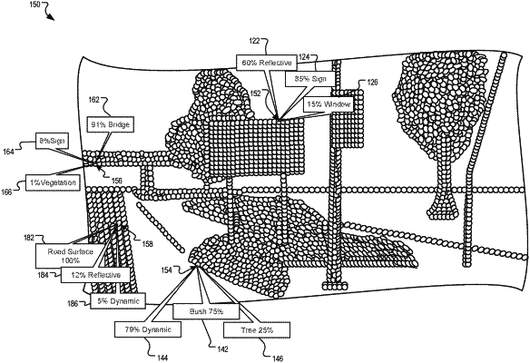
receiving a previously-generated surfel map depicting an area in which a vehicle is located, the surfel map comprising a plurality of surfels generated by a plurality of other vehicles obtaining sensor data in the area, each surfel corresponding to a respective different location in the area in which a vehicle is located;
receiving, in real-time from one or more sensors, sensor data representing the area in which the vehicle is located;
determining, based on comparing a representation of an object detected by the sensor data to one or more surfels corresponding to the object detected by the sensor data, that the area in which a vehicle is located includes a dynamic object having a changed shape relative to its representation in the surfel map;
determining that the changed shape of the dynamic object introduces an occlusion of a line of sight between a location of the vehicle and an area of interest; and
in response, generating an updated path for the vehicle to travel that avoids the occlusion introduced by the changed shape of the dynamic object and establishes a line of sight between one or more sensors of the vehicle and the area of interest.
|