| CPC G01S 13/89 (2013.01) [G01C 21/1652 (2020.08); G01S 13/937 (2020.01)] | 14 Claims |
|
1. A method for correcting the position of a vehicle, the method comprising:
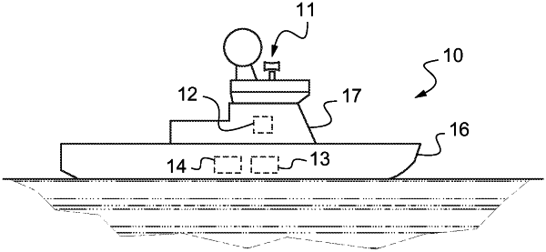
a step of receiving, by the RADAR system installed on said vehicle, a real RADAR image;
a step of acquiring, by a computer installed on said vehicle, an estimated position of the vehicle;
a step of elaborating, by the computer, a simulated RADAR image as a function of the estimated position of the vehicle and of a cartographic model of the vehicle environment;
a step of comparing the real RADAR image and the simulated RADAR image; and
a step of correcting the estimated position of the vehicle as a function of a result of the comparing,
wherein the acquiring, elaborating, and comparing steps are repeated at successive time steps with different estimated positions of the vehicle,
wherein, at the correcting step during a first time step of the successive time steps, defining a pool of uncertainty corresponding to a zone in which the vehicle is located,
wherein, during a second time step of the successive time steps, the acquiring step is repeated using a plurality of estimated positions of the vehicle located within the pool of uncertainty, and
wherein, at the correcting step, the estimated position of the vehicle is corrected as a function of the results of the comparing steps.
|