| CPC G06Q 50/265 (2013.01) [B64C 39/024 (2013.01); G05D 1/0055 (2013.01); G06V 20/17 (2022.01); G06V 20/52 (2022.01); G06V 40/70 (2022.01); H04W 4/38 (2018.02); H04W 4/90 (2018.02); B64U 50/19 (2023.01); B64U 80/60 (2023.01); B64U 2101/00 (2023.01)] | 20 Claims |
|
1. An apparatus, comprising:
an aerial drone wirelessly coupled to an application operating on an electronic device of a user;
a plurality of solar cell panels coupled to at least one rechargeable battery of the aerial drone and configured to use solar energy to recharge the at least one rechargeable battery;
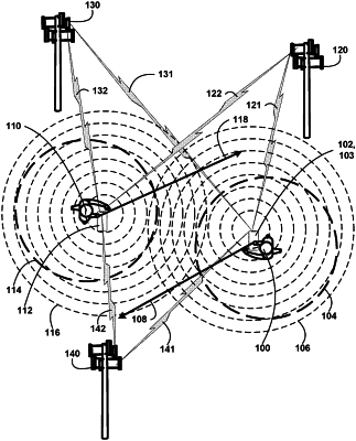
a navigation guidance device coupled to the aerial drone and the application and configured to navigate the aerial drone to a predetermined location while avoiding colliding with objects;
a Light Detection and Ranging (LIDAR) detection device coupled to the aerial drone and configured to capture LIDAR data comprised of three-dimensional images of terrain, structures, living objects, stationary objects, and moving objects while the aerial drone is navigating to the predetermined location;
at least one sensor coupled to the aerial drone and configured to detect and measure atmospheric components while the aerial drone is navigating to the predetermined location; and
wherein the application is configured to determine hazards associated with the LIDAR data and the atmospheric components and alert the user of the hazards.
|