| CPC G01S 19/28 (2013.01) [B64C 39/024 (2013.01); G01R 29/00 (2013.01); G01S 5/06 (2013.01); H01Q 1/241 (2013.01); H04B 7/18506 (2013.01); H01Q 1/28 (2013.01)] | 15 Claims |

|
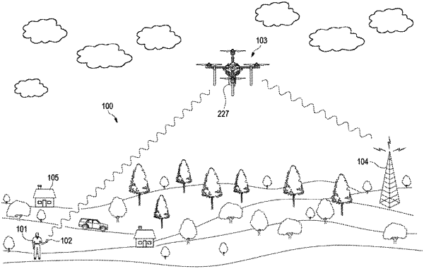
1. A system, comprising
an unmanned aerial vehicle (UAV);
a physical cell identity (PCI) scanner coupled to the UAV, the scanner covering frequencies using an omni-directional or directional antenna for capturing PCI data;
logic configured to geotag the PCI data with a latitude, a longitude, an altitude, and a direction of the UAV, the logic further configured to save the data in files for analyzation, the logic further configured to generate three-dimensional models using the geotag PCI data to find weak points in signal coverage.
|