| CPC A63B 71/0622 (2013.01) [A63B 69/36 (2013.01); A63B 2220/16 (2013.01)] | 20 Claims |
|
1. A system for providing putting stroke guidance to a user on a golf course putting green, the system comprising:
a remote server having a processor and a database, wherein the database is configured to collect, store and maintain high resolution LIDAR topography of at least one golf course with putting greens and holes associated with each putting green, wherein the high resolution LIDAR topography has centimeter accuracy coordinates;
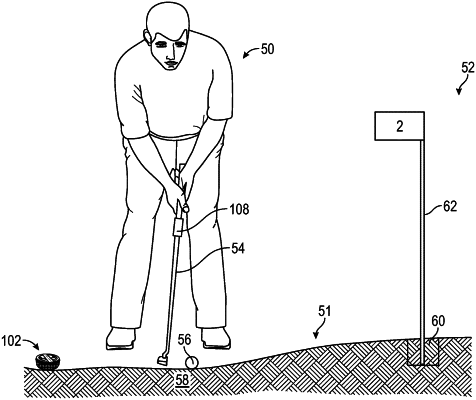
a club sensor having multiple sensors and a transmitter coupled to a golf putter and the remote server and configured to collect practice putting stroke data from the golf putter as golf putter physically moves;
a sensor assembly having a real time kinematics device, wherein the sensor assembly is positionable on a ground surface of at least one of the putting greens and configured to use the real time kinematics device to identify a first location of at least one hole of at least one putting green and identify a second location of a golf ball on the at least one putting green within under ten centimeters, to transmit the first location and the second location to the remote server and to receive from the processor a comparison of the first and second locations to corresponding data of the high resolution LIDAR topography of the putting greens and holes; and
wherein the processor of the remote server is further configured to compare a projected trajectory of the practice putter stroke data with a recommended trajectory of the practice putting stroke data and send feedback to a mobile device with aim, direction and speed guidance instructions about the projected trajectory of the practice putter stroke data based on the recommended trajectory of the practice putting stroke data.
|