| CPC G01C 21/3837 (2020.08) [G01C 21/3826 (2020.08); G01C 21/3896 (2020.08)] | 17 Claims |

|
1. A method for localization performed by a vehicle, comprising:
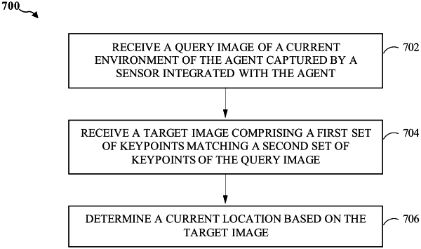
capturing, via one or more sensors integrated with the vehicle, a query image of a current environment of the vehicle, the query image being a two-dimensional (2D) image;
identifying a target image, from a plurality of images associated with a three-dimensional (3D) map of the current environment, comprising a first set of keypoints that match a second set of keypoints of the query image, each image of the plurality of images associated with a respective set of keypoints that are labelled via a keypoint model trained for 2D-to-3D keypoint matching;
determining a current location within the 3D map based on identifying the target image; and
autonomously or semi-autonomously navigating through the current environment based on determining the current location.
|