| CPC G01V 1/3843 (2013.01) [G01V 1/09 (2013.01); G01V 1/201 (2013.01); G01V 1/3808 (2013.01); G01V 2210/1293 (2013.01); G01V 2210/1423 (2013.01)] | 18 Claims |
|
1. A method comprising:
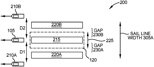
towing a plurality of receivers and a first seismic source behind a first vessel, wherein the first vessel tows a plurality of streamers, wherein multiple ones of the plurality of receivers are disposed along each of the plurality of streamers, and wherein the plurality of streamers define a swath;
acquiring, using the plurality of receivers, first survey data resulting from activating the first seismic source, wherein the first survey data corresponds to a first coverage area of a subsurface below a bottom surface of a body of water;
towing a second seismic source behind a second vessel;
acquiring, using the plurality of receivers, second survey data resulting from activating the second seismic source, wherein the second survey data corresponds to a second coverage area of the subsurface, wherein no portion of the second coverage area is overlapped by the swath; and
controlling a separation distance between the first and second vessels to result in a desired gap between the first and second coverage areas.
|