| CPC G01C 21/362 (2013.01) [G01C 21/16 (2013.01); G01C 21/3623 (2013.01)] | 8 Claims |
|
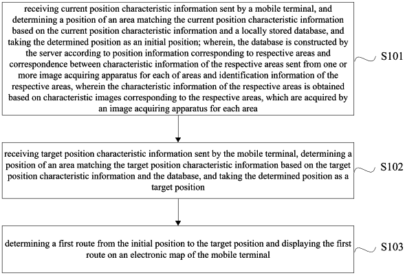
1. A method for navigation in a parking lot to assist a user to find a parked vehicle or park a vehicle, wherein the method is applied in a server, and comprises:
receiving current position characteristic information sent by a mobile terminal carried by the user, and determining a position of an area matching the current position characteristic information based on the current position characteristic information and a locally stored database, and taking the determined position as an initial position, wherein the current position characteristic information comprises at least one of parking space identification information, a license plate number or a comparison image;
wherein, the database is constructed by the server according to position information corresponding to respective areas and correspondence between characteristic information of the respective areas sent from one or more image acquiring apparatus for each of areas and identification information of the respective areas, wherein the characteristic information of the respective areas is obtained based on characteristic images corresponding to the respective areas, which are acquired by an image acquiring apparatus for each area in response to a situation that the image acquiring apparatus detects that there is a change of content contained in this area, and wherein license plate numbers or images of currently parked vehicles, and identification information and position information corresponding to each of parking spaces are stored in the database;
receiving target position characteristic information sent by the mobile terminal, determining a position of an area matching the target position characteristic information based on the target position characteristic information and the database, and taking the determined position as a target position, wherein the target position characteristic information comprises at least one of parking space identification information, a license plate number or a comparison image, and wherein in case that the user wants to find the parked vehicle, the target position is a position where the vehicle is parked, and in case that the user wants to park the vehicle, the target position is an idle parking space; and
determining a first route from the initial position to the target position and displaying the first route on an electronic map of the mobile terminal;
wherein after displaying the first route on the electronic map of the mobile terminal, the method further comprises:
detecting, by the server, the current position of the mobile terminal, and displaying the current position on the electronic map of the mobile terminal;
wherein detecting the current position of the mobile terminal comprises:
receiving current position characteristic information periodically sent by the mobile terminal, determining the position of an area matching the current position characteristic information based on the current position characteristic information and the database, and taking the determined position as the current position;
wherein the method further comprises:
detecting whether an offset between the current position and the first route is greater than a predetermined threshold; and
in response to that the offset is greater than the predetermined threshold, determining a second route from the current position to the target position according to the current position and the target position, and displaying the second route on the electronic map of the mobile terminal;
wherein, after displaying the current position on the electronic map of the mobile terminal, the method further comprises:
receiving, by the server after a position correction instruction sent by the mobile terminal and input by the user on the mobile terminal is received, the current position characteristic information sent by the mobile terminal, determining a position of an area matching the current position characteristic information based on the current position characteristic information and the database, and updating the current position of the mobile terminal with the determined position.
|