| CPC G06T 7/30 (2017.01) [E21B 44/00 (2013.01); G06T 3/067 (2024.01); G06T 2207/30181 (2013.01)] | 21 Claims |

|
1. A method, comprising:
identifying a location at which a wellbore is compared to geology logs, wherein the location is in a subterranean formation of the wellbore;
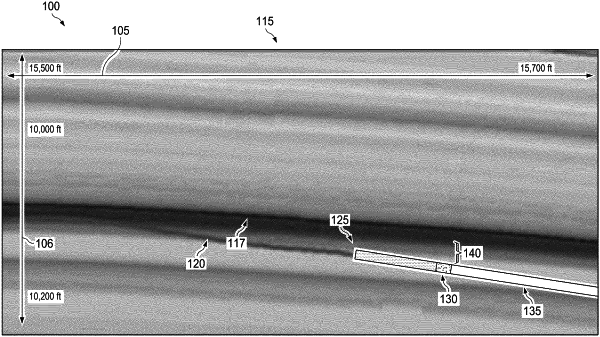
collecting an initial image log data set, wherein the initial image log data set represents a three-dimensional (3D) image proximate the wellbore at the location;
transforming the initial image log data set to match an orientation of the geology logs, to generate a transformed image log data set;
overlaying the transformed image log data set on the geology logs to generate an overlaid image log data set, wherein a first top portion of the transformed image log data set is aligned with a second top portion of the geology logs forming a first half image log data, and a first bottom portion of the transformed image log data set is aligned with a second bottom portion of the geology logs forming a second half image log data; and
determining an alignment parameter, wherein the geology logs or the overlaid image log data set is adjusted.
|