| CPC G06F 3/04845 (2013.01) [G06F 3/04817 (2013.01); G06F 3/0482 (2013.01); G06F 16/29 (2019.01); G06F 2203/04806 (2013.01); H04L 67/01 (2022.05)] | 17 Claims |

|
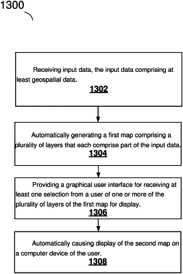
1. A method, comprising:
receiving the input data from one or more data sources, wherein the one or more data sources comprises at least documents from a distributed, multitenant-capable full-text analytics and search engine environment;
automatically generating a first map comprising a plurality of layers that each comprise part of the input data, the plurality of layers configured for customization by a user, and visibility of each of the plurality of layers of the first map is fully controlled by the user using scale regions to reduce visual clutter;
providing a graphical user interface for receiving at least one selection from the user of one or more of the plurality of layers of the first map for display and an indication that the user has zoomed in on the first map to a first area featuring a symbol corresponding to an item of interest;
automatically generating, based on bounds of the dataset, a second map showing a second area of a bounding shape selected to fit the data related to the item of interest; and
automatically causing display of the second map and the bounds of the dataset on a computer device of the user.
|