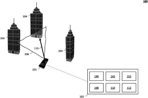
| CPC G01S 17/89 (2013.01) [G01S 17/86 (2020.01); G01S 17/931 (2020.01); G06N 3/02 (2013.01); G06V 20/56 (2022.01)] | 20 Claims |

|
1. A computer-implemented method for detecting one or more three-dimensional structures in a proximity of a vehicle at runtime, the computer-implemented method comprising:
generating, by a processor, using a camera, a birds-eye-view (BEV) camera image of the proximity of the vehicle, the BEV camera image comprising two-dimensional coordinates of one or more structures in the proximity;
generating, by the processor, a BEV height image of the proximity of the vehicle, the BEV height image providing height of the one or more structures in the proximity;
detecting, by the processor, one or more edges of the one or more three-dimensional structures in the proximity based on the BEV camera image and the BEV height image;
generating, by the processor, models of the one or more three-dimensional structures in the proximity of the vehicle by plane-fitting based on the edges of the one or more three-dimensional structures; and
reconfiguring, by the processor, a navigation system receiver based on the models of the one or more three-dimensional structures in the proximity of the vehicle wherein reconfiguring the navigation system receiver includes changing a frequency being used by the navigation system receiver.
|