| CPC G06V 20/586 (2022.01) [B60W 30/06 (2013.01); G08G 1/142 (2013.01); G08G 1/148 (2013.01); G08G 1/149 (2013.01); B60W 2420/52 (2013.01); B60W 2552/53 (2020.02)] | 20 Claims |

|
1. A method, comprising:
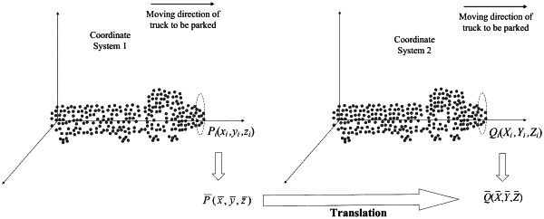
acquiring real-time point cloud data by scanning a lane crossed by a shore crane using a LiDAR;
clustering the real-time point cloud data to obtain a set of point clouds for a truck moving in the lane;
obtaining a real-time distance from the moving truck to a target parking space based on the set of point clouds and a vehicle point cloud model; and
broadcasting a message containing the real-time distance, such that a vehicle controller controls the moving truck to stop at the target parking space based on the real-time distance contained in the message.
|