| CPC G06F 3/04842 (2013.01) [G06F 16/285 (2019.01); G06F 16/29 (2019.01); G06F 16/904 (2019.01); G06F 18/231 (2023.01); G06F 18/2321 (2023.01); G06T 11/206 (2013.01); G07C 5/008 (2013.01); G07C 5/06 (2013.01); G08G 1/13 (2013.01); G08G 1/20 (2013.01)] | 24 Claims |
|
1. A method of generating zones with a telematics system, the method
comprising:
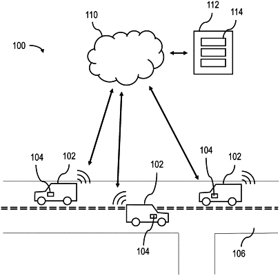
obtaining telematics data from one or more telematics devices associated with
one or
more vehicles, the telematics data including GPS data associated with one or more trips taken by the one or more vehicles;
identifying stops in the telematics data;
identifying a cluster of stops using a clustering algorithm, wherein identifying the cluster of stops includes assigning a geographical space having a geographical boundary for
the clustering algorithm;
creating a first polygon containing the cluster of stops;
outputting the first polygon as a first zone to a user;
establishing a buffer extending a predetermined distance around the
geographical
boundary;
identifying stops within the buffer;
identifying a buffer cluster of stops within the buffer using the clustering algorithm;
creating a buffer polygon containing the cluster of stops within the buffer;
determining whether the buffer polygon and the first polygon overlap;
based on the determination of whether the buffer polygon and the first polygon overlap, merging the buffer polygon and the first polygon into a merged polygon, wherein the buffer polygon and the first polygon are merged in response to determining that a distance between the buffer polygon and the first polygon exceeds a threshold distance; and
outputting the merged polygon as a merged zone to the user.
|