| CPC G01C 11/02 (2013.01) [G01C 11/04 (2013.01)] | 6 Claims |
|
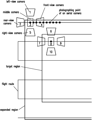
1. An aerial survey method capable of eliminating redundant aerial photos, comprising judging whether there is an intersection between ground projection data of aerial photos at a photographing coordinate point and known data of a target region, and when there is an intersection between the ground projection data and the known data, keeping aerial photography data of the photographing coordinate point or performing aerial photography at the photographing coordinate point, and when there is no intersection between the ground projection data and the known data, eliminating the aerial photography data of the photographing coordinate point or not performing the aerial photography at the photographing coordinate point,
wherein the ground projection data of the aerial photos at the photographing coordinate point is obtained according to coordinate information and attitude information of an aircraft or an aerial camera at the photographing coordinate point, and parameter information of the aerial camera, and
wherein the photographing coordinate point is a point in space determined by longitude, latitude and altitude data; the attitude information comprises angular velocity information and acceleration information; the coordinate information comprises longitude, latitude and altitude information; the parameter information comprises geometric parameter information and optical parameter information of the aerial camera; and the known data of the target region is a vector data, comprising keyhole markup language (KML) data or shapefile (SHP) data.
|