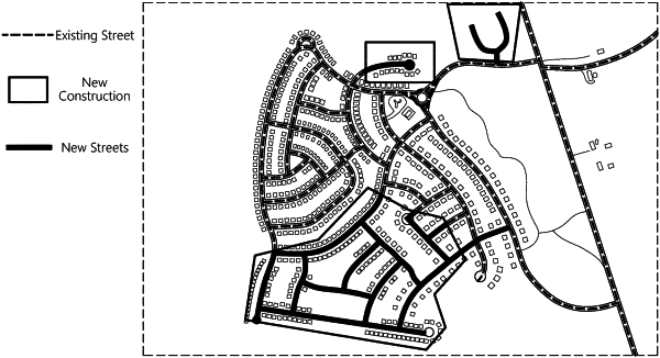
| CPC G01C 21/3819 (2020.08) [G01C 21/3841 (2020.08)] | 22 Claims |

|
1. A system for updating map data, the system comprising:
a mobile computing device comprising a location circuit to generate breadcrumb data as the mobile computing device moves along a delivery route; and
a computer system configured to:
receive, from the mobile computing device, the breadcrumb data;
generate breadcrumb lines by converting the breadcrumb data into lines connecting the breadcrumbs within the breadcrumb data;
determine a threshold distance from the generated breadcrumb lines, wherein the threshold distance is a distance within which a threshold number of breadcrumbs of the breadcrumb data are located;
generate buffer lines bounding the generated breadcrumb lines;
draw the buffer lines at the determined threshold distance from the generated breadcrumb lines;
generate buffer centerlines from the generated buffer lines, the buffer centerlines being drawn along a midline between the generated buffer lines;
determine, based on the buffer center lines, the estimated locations of new streets; and
update a map based on the new streets.
|