| CPC G06T 11/206 (2013.01) [B23K 9/1274 (2013.01); F16L 55/32 (2013.01); G01B 11/24 (2013.01); G01N 21/954 (2013.01); G06Q 10/06 (2013.01); G06Q 10/10 (2013.01); G06Q 30/0611 (2013.01); G06T 3/0037 (2013.01); G06T 7/0004 (2013.01); B23K 9/0956 (2013.01); G01N 2021/9544 (2013.01); G01N 2021/9548 (2013.01); G06Q 10/30 (2013.01); G06T 2207/10028 (2013.01); H04N 7/183 (2013.01)] | 18 Claims |

|
1. A method, comprising:
traversing, using a pipe inspection robot, one or more pipe segments in a network and collecting, at a first time and using one or more sensors of the inspection robot, first pipe segment data comprising one or more of laser condition assessment data and sonar condition assessment data relating to the one or more pipe segments in the network;
generating first infrastructure summary data for at least a part of the network using the first pipe segment data, wherein the first infrastructure summary data relates to a condition of the one or more pipe segments at the first time;
thereafter traversing and collecting, at a second time after the first time, and using one or more sensors of an inspection robot, second pipe segment data comprising one or more of laser condition assessment data and sonar condition assessment data relating to the one or more pipe segments;
generating second infrastructure summary data for at least the part of the network using the second pipe segment data, wherein the second infrastructure summary data relates to an updated condition of the one or more pipe segments at the second time;
comparing, using a processor, the first and second infrastructure summary data;
generating, using the processor, displayable data indicating a change between the first and second infrastructure summary data; and
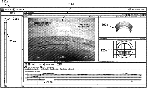
displaying, in response to a selection of the first one or more pipe segments in a graphical user interface, the change between the first and second infrastructure summary data.
|