| CPC G06N 20/00 (2019.01) [G06F 3/048 (2013.01); G06N 5/027 (2013.01); G06N 7/01 (2023.01); G06Q 10/06315 (2013.01)] | 20 Claims |
|
1. A method comprising:
training, by a computing system, a gamma mixture hurdle model characterizing a functional relationship between: output data specifying food flows between zones, and input variables representing food production and food consumption in the zones, wherein the training involves: (i) using binary logistic regression to estimate whether corresponding food flows exist between pairs of the zones, and (ii) for pairs of the zones in which the corresponding food flows are estimated to exist, using a gamma mixture model to estimate amounts of the corresponding food flows, and wherein each zone includes a respective set of regions;
based on parameters of the gamma mixture hurdle model, estimating, by the computing system: (i) whether corresponding food sub-flows exist between pairs of the regions, and (ii) for pairs of the regions in which the corresponding food sub-flows are estimated to exist, potentials of the corresponding food sub-flows;
determining, by the computing system and using a linear programming framework, values for the corresponding food sub-flows, wherein the linear programming framework uses data specifying food flows as mass balance constraints on totals of the corresponding food sub-flows that are within each of the zones, the potentials as inequality constraints on the corresponding food sub-flows that are within each of the zones, and region-to-region distance data for the regions as a minimization constraint on the corresponding food sub-flows;
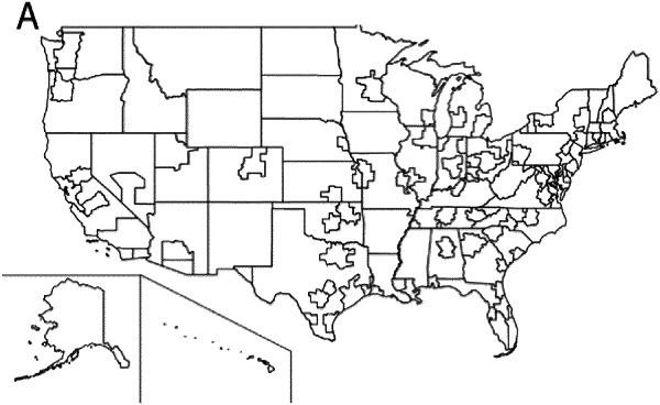
generating, based on the values for the corresponding food sub-flows, a map of simulated food flows between geographic regions;
providing, for display on a graphical user interface, the map of simulated food flows between the geographic regions, wherein the corresponding food sub-flows are illustrated as lines connecting the geographic regions on the map; and
receiving a limitation, via the graphical user interface, of the values for the corresponding food sub-flows to determine vulnerabilities in a food system, wherein limiting the corresponding food sub-flows comprises a change in the lines connecting the geographic regions on the map.
|