| CPC G06T 19/006 (2013.01) [G06F 3/011 (2013.01)] | 18 Claims |
|
1. An XR system that supports specification of a position of virtual content relative to one or more persisted maps in a database of persisted maps, the XR system comprising
a localization service configured to receive from a portable electronic device information about a plurality of collections of features in images of a three-dimensional (3D) environment, the information comprising positions for the features of the plurality of collections of features expressed in a coordinate frame,
wherein the localization service comprises at least one processor configured to execute computer-executable instructions, the computer-executable instructions implementing a localization component, the localization component configured to:
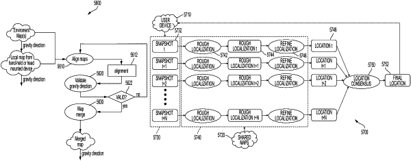
compute a plurality of candidate localizations for the plurality of collection of features by, for each of the plurality of collections of features, performing a process to determine as a candidate localization a transformation between the collection of features and a portion of a persisted map in the database of persisted maps, wherein:
the portion of the persisted map has an associated estimated direction of gravity; and
the process of determining is constrained, based on an orientation of the coordinate frame, to determine transformations that align the coordinate frame with the associated estimated direction of gravity by:
fixing two rotational degrees of freedom based, at least in part, on the orientation of the coordinate frame with respect to the associated estimated direction of gravity, and
computing one rotational degree of freedom and three translational degrees of freedom based, at least in part, on the fixed two rotational degrees of freedom; and
generate a localization of the portable electronic device based on consensus among the plurality of candidate localizations.
|