| CPC G06T 11/60 (2013.01) [G06T 11/203 (2013.01)] | 20 Claims |
|
1. A computing platform comprising:
a network interface;
at least one processor;
non-transitory computer-readable medium; and
program instructions stored on the non-transitory computer-readable medium that are executable by the at least one processor such that the computing platform is configured to:
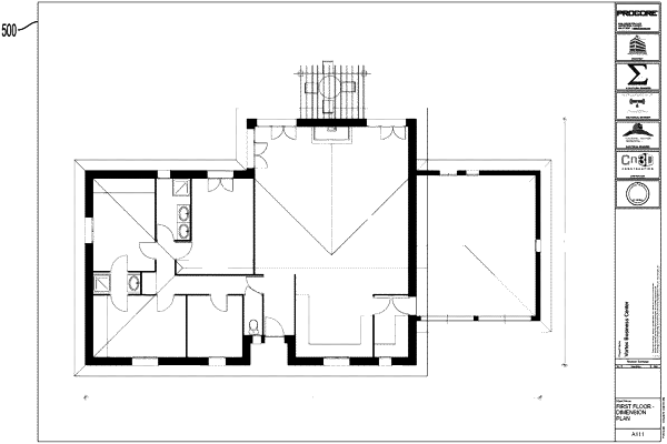
receive a two-dimensional (2D) image file comprising a construction drawing;
generate, via semantic segmentation, (i) a first set of polygons corresponding to respective areas of the 2D image file and (ii) a respective confidence score for each polygon in the first set of polygons;
generate, via instance segmentation, (i) a second set of polygons corresponding to respective areas of the 2D image file and (ii) a respective confidence score for each polygon in the second set of polygons;
generate, via unsupervised image processing, (i) a third set of polygons corresponding to respective areas of the 2D image file and (ii) a respective confidence score for each polygon in the third set of polygons;
for each polygon from each set of polygons, determine a respective overlap with each polygon from the other sets of polygons;
based on (i) the determined overlap between polygons and (ii) the respective confidence scores for each of the overlapping polygons, determine a set of merged polygons corresponding to respective areas of the 2D image file; and
cause a client station to display a visual representation of the 2D image file, wherein each merged polygon in the set of merged polygons is overlaid as a respective selectable region of the 2D image file.
|