| CPC G06T 15/08 (2013.01) [G01S 17/89 (2013.01); G06F 18/25 (2023.01); G06T 1/20 (2013.01); G06T 7/70 (2017.01); G06T 2207/10028 (2013.01)] | 20 Claims |

|
1. A computing system on a vehicle configured to generate a city-scale map, the computing system configured to generate a city-scale map and comprising:
one or more processors; and
a memory storing instructions that, when executed by the one or more processors, cause the system to perform:
obtaining point clouds at different positions, orientations, or times;
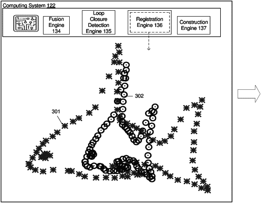
registering, in pairs, a subset of the point clouds based on respective surface normals of each of the point clouds;
obtaining odometry data, the odometry data comprising inertial measurement unit (IMU) data from an IMU and global navigation satellite system (GNSS) data from a GNSS sensor;
determining a position or an orientation of each of the subset of the point clouds based on a constraint associated with the odometry data; and
generating a map based on the determined position or the orientation of each of the subset of the point clouds.
|