| CPC G01C 21/3476 (2013.01) [G01C 21/3682 (2013.01); G06F 16/29 (2019.01); G06F 16/9024 (2019.01); H04W 4/21 (2018.02)] | 20 Claims |
|
1. A method comprising:
receiving, by one or more computing devices, a query for points of interest (POIs) within a geographic region;
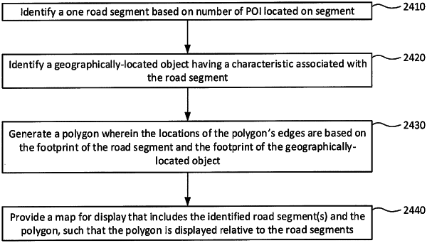
identifying, by one or more computing devices, a plurality of road segments within the geographic region, wherein each road segment of the plurality of road segments has a footprint and at least one point of interest;
identifying, by the one or more computing devices, one or more buildings within the geographic region having an access route associated with at least one road segment of the plurality of road segments, each building of the one or more buildings having a footprint;
generating, by the one or more computing devices, one or more polygons having edges at locations based on the footprints of the plurality of road segments and the footprints of the one or more buildings; and
providing for display, by the one or more computing devices, a map that displays the plurality of road segments and the one or more polygons relative to the plurality of road segments.
|