| CPC G08G 5/0082 (2013.01) [G01S 13/91 (2013.01); G01S 13/951 (2013.01); G08G 5/0091 (2013.01)] | 20 Claims |
|
1. A method comprising:
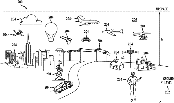
deploying a plurality of radars across one or more geographic areas based on a respective radar detection range of the plurality of radars and a coverage parameter for the one or more geographic areas, wherein each of the plurality of radars is configured to detect fixed object parameters within the respective radar detection range, the fixed object parameters being associated with fixed objects within the one or more geographic areas;
collecting, via a data service system, the fixed object parameters from the plurality of radars;
generating a computer three-dimensional model of airspace conditions for the one or more geographic areas based on the fixed object parameters, airspace regulations and future predicted airspace conditions, based on historical data, of the one or more geographic areas to yield modeled airspace conditions;
receiving a request for flight plans associated with a specific region within the one or more geographic areas, wherein the request comprises data about goods to be delivered to a destination and wherein a flight plan is generated based on the request and provided to a flying vehicle prior to a flight of the flying vehicle; and
autonomously moving, based on the modeled airspace conditions and the flight plan, the flying vehicle in the specific region.
|