| CPC G06V 20/13 (2022.01) [B64G 1/1021 (2013.01); G06F 18/24 (2023.01); G06N 3/08 (2013.01); G06V 10/751 (2022.01)] | 18 Claims |
|
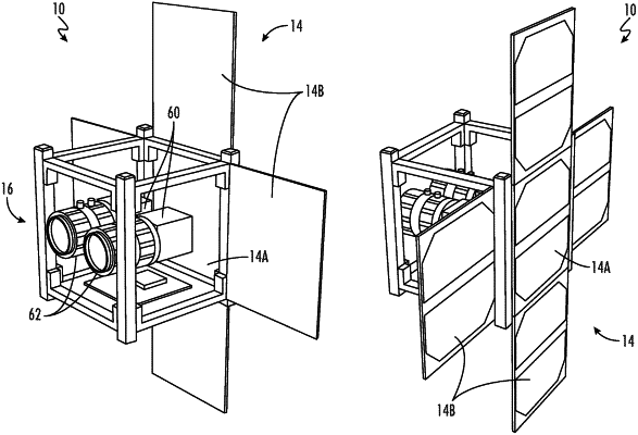
1. A satellite for performing earth remote sensing using stereoscopic hyperspectral imaging in the visible (VIS) and infrared (IR) bands, the satellite comprising:
a sensor system configured for capturing hyperspectral images in the VIS and IR bands;
an altitude determination and control system (ADCS);
a main board including a microcontroller unit and memory configured with program instructions to control the sensor system and ADCS;
a supervisor including a microcontroller unit and configured with program instructions to implement power control of the main board; and
an electric power system (EPS) configured to supply electrical power to the sensor system, ADCS, main board and supervisor; wherein the main board is further configured with program instructions to:
direct the sensor system to capture a first hyperspectral image and subsequently capture a second hyperspectral image;
perform image classification to identify discrete image features in the first and second hyperspectral images; and
calculate a synthetic baseline between the first and second hyperspectral images.
|