| CPC G01S 7/18 (2013.01) [G01S 7/411 (2013.01); G01S 13/95 (2013.01); G06T 11/206 (2013.01); G06F 3/04842 (2013.01); G06T 2200/24 (2013.01)] | 15 Claims |
|
1. A system, comprising:
a display; and
at least one processor communicatively coupled to the display, the at least one processor configured to:
obtain aircraft data associated with an aircraft, the aircraft data including information of an aircraft position of the aircraft and an aircraft altitude of the aircraft;
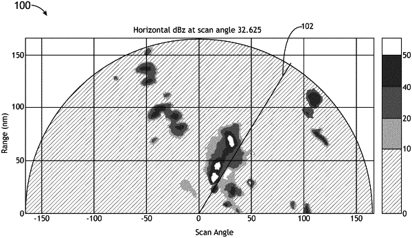
obtain or generate two-dimensional weather radar reflectivity data for a region proximate to the aircraft position, the two-dimensional weather radar reflectivity data including or based on at least one of horizontal weather radar scans or vertical weather radar scans;
break down the two-dimensional weather radar reflectivity data into cells, each cell of the cells having a maximum rainfall rate location and a geometric area;
compute storm top information of a given cell and information of a growth rate of the given cell for each cell of the cells from the two-dimensional weather radar reflectivity data;
prioritize the cells based at least on at least one of each cell's proximity to the aircraft, each cell's intensity, each cell's growth rate, each cell's storm top altitude relative to the aircraft altitude, or a threat convective level of the cell to select a highest priority cell; and
output, to the display, a highest priority azimuth slice vertical radar image of the two-dimensional weather radar reflectivity data as graphical data, the highest priority azimuth slice vertical radar image corresponding to an azimuth slice of the two-dimensional weather radar reflectivity data for the highest priority cell;
wherein the display is configured to display the highest priority azimuth slice vertical radar image to a user.
|