| CPC G01C 21/38 (2020.08) [G01C 21/28 (2013.01)] | 8 Claims |
|
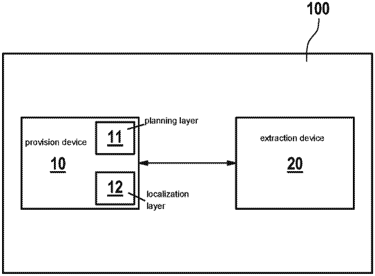
1. A method for forming a localization layer of a digital localization map for automated driving, the method comprising:
providing the localization layer, which is a localization map, for a defined region;
providing a planning layer, which is a planning map, for the region; and
extracting alignment features from the localization layer provided for an alignment with the planning layer, the alignment features being extracted from the localization layer so that an inadmissible deformation of the localization layer is recognizable during the alignment of the planning layer with the localization layer;
wherein mutual alignment of the planning layer and the localization layer based on the alignment features of the localization layer is carried out with the localization layer so that errors or inadmissible deviations between the localization layer and the planning layer are detected for generating the digital localization map, which is correct,
wherein it is not necessary to check a complete data set for checking an accuracy or a correctness of the alignment of the localization layer with the planning layer, and
wherein during the alignment, non-linear transformations are applied to the localization layer to align the localization layer exactly with regard to the planning layer.
|