| CPC G01S 5/02521 (2020.05) [G01S 5/0081 (2013.01); G01S 5/0264 (2020.05)] | 19 Claims |
|
1. A method of locating tagged objects in remote regions, comprising:
creating a signal strength probability density map by:
transmitting first packets of data from at least one first tag to a plurality of stations,
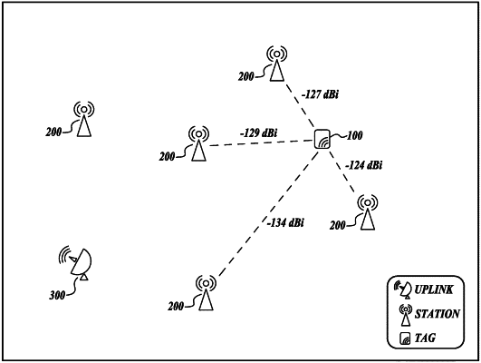
determining, by a plurality of stations, received signal strength indicator (RSSI) for received first packets of data,
transmitting, by the plurality of stations, the RSSI to an uplink node,
transmitting, by the uplink node, the RSSI to a database, and
determining, by the database, the signal strength probability density map representative of probabilistic locations of the at least one first tag;
transmitting second packets of data from a second tag to the plurality of stations; and
based on the signal strength probability density map and the second packets of data from the second tag, determining a location of the second tag,
wherein transmitting, by the plurality of stations, the RSSI to an uplink node comprises:
receiving the RSSI by a first station of the plurality of stations;
transmitting the RSSI from the first station of the plurality of stations to a second station of the plurality of stations; and
transmitting the RSSI from the second station of the plurality of stations to the uplink,
wherein determining the signal strength probability density map comprises:
determining a raw signal strength contour profile of the at least one first tag as received by the plurality of stations;
determining an individual tag radiation pattern of the at least one first tag; and
determining an adjusted station signal profile based on a combination of the raw signal strength contour profile of the at least one first tag and the individual tag radiation pattern of the at least one first tag.
|