| CPC B64C 39/024 (2013.01) [G01C 21/3453 (2013.01); G05D 1/106 (2019.05); G06T 7/246 (2017.01); G06T 7/277 (2017.01); G06T 7/593 (2017.01); G06T 17/05 (2013.01); G06V 20/13 (2022.01); G06V 20/17 (2022.01); G08G 5/0069 (2013.01); G08G 5/045 (2013.01); B64U 2201/10 (2023.01); G06T 2207/10021 (2013.01); G06T 2207/10032 (2013.01); G06T 2207/20081 (2013.01); G06T 2207/20084 (2013.01); G06T 2207/30188 (2013.01); G06T 2207/30241 (2013.01); G06T 2207/30252 (2013.01)] | 20 Claims |
|
1. A system comprising:
a processing unit; and
a memory unit coupled to the processing unit, the memory unit including instructions stored thereon, which when executed by the processing unit, cause the system to:
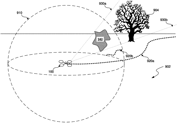
generate a cost function map that associates a cost value with each of multiple regions of an image of a physical environment,
wherein the cost value is indicative of a level of risk associated with navigating in an area of the physical environment corresponding to the region of the image;
identify, based on the cost function map, a particular region of the multiple regions of the image that is associated with a higher cost value than one or more other regions of the multiple regions of the image; and
generate a 3D trajectory for an autonomous vehicle through the physical environment that avoids the particular region of the image to lesson an overall cost of the 3D trajectory.
|