| CPC G01C 23/005 (2013.01) [G01C 21/20 (2013.01); G01P 3/00 (2013.01); G07C 5/02 (2013.01)] | 14 Claims |
|
1. A method for estimating, during an approach procedure of an aircraft with a view to landing on a runway in accordance with a predefined approach towards said runway, an angular deviation of a reference guidance axis with respect to an approach axis corresponding to said predefined approach towards the runway, and also a position and a velocity of the aircraft with respect to the runway,
the approach procedure being performed using a landing assistance device, the landing assistance device comprising at least one transmitter station configured to transmit a reference guidance signal defining the reference guidance axis, the runway having a threshold,
the approach procedure comprising a capturing phase comprising making the aircraft converge towards the reference guidance axis and a tracking phase comprising guiding the aircraft along the reference guidance axis,
the method comprising at least one set of steps implemented iteratively, the set of steps implemented in each iteration comprising:
an offset collection step, implemented by an offset collection module, comprising collecting an offset measured by an offset measurement module based on the reference guidance signal transmitted by the transmitter station;
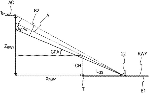
a position vector collection step, implemented by a position vector collection module, comprising collecting a position vector of the aircraft measured by a position vector measurement module based on signals transmitted by a geopositioning system, the position vector of the aircraft being expressed with respect to the threshold of the runway, the position vector comprising a longitudinal position, a lateral position and a vertical position;
a velocity vector collection step, implemented by a velocity vector collection module, comprising collecting a velocity vector of the aircraft measured by a velocity vector inertial measurement module, the velocity vector comprising a longitudinal velocity, a lateral velocity and a vertical velocity;
an information determination step, implemented by an information determination module, comprising determining at least the following information, using an estimator filter, based on the position vector, based on the velocity vector, based on the offset determined in a current iteration and based at least on an offset determined and stored in at least one previous iteration:
an estimate of the angular deviation of the reference guidance axis with respect to the approach axis towards the runway,
an estimate of the position of the aircraft with respect to the runway and
an estimate of the velocity of the aircraft with respect to the runway;
a storage step, implemented by a storage module, comprising storing at least the offset and the position vector that are determined in the current iteration.
|