| CPC G01C 21/343 (2013.01) [B60W 60/001 (2020.02); G01C 21/3461 (2013.01); G01C 21/3476 (2013.01); G01C 21/3605 (2013.01)] | 20 Claims |
|
1. A method comprising:
receiving, by a device and from a user device, trip data identifying a starting point and a destination point for a trip and feature data identifying weights for trip features;
determining, by the device, a geographical region based on the starting point and the destination point of the trip data,
wherein determining the geographical region comprises normalizing an initial geographical region based on the starting point and the destination point for the trip to generate the geographical region based on altering an aspect ratio associated with the initial geographical region,
wherein altering the aspect ratio comprises extending a shorter first side of the initial geographical region based on a longer second side of the initial geographical region;
receiving, by the device, viewpoint data identifying viewpoints located within the geographical region;
calculating, by the device and based on the feature data, viewpoint relevance scores for the viewpoints identified by the viewpoint data,
wherein calculating the viewpoint relevance scores comprises:
dividing the geographical region into one or more sub-regions,
associating one or more viewpoints, of the viewpoints, with a sub-region of the one or more sub-regions,
calculating, using a decreasing function, a plurality of panoramic interest scores based on a panoramic interest score for each viewpoint, of the viewpoints, that is calculated based on a number of images that are associated with the respective viewpoint; and
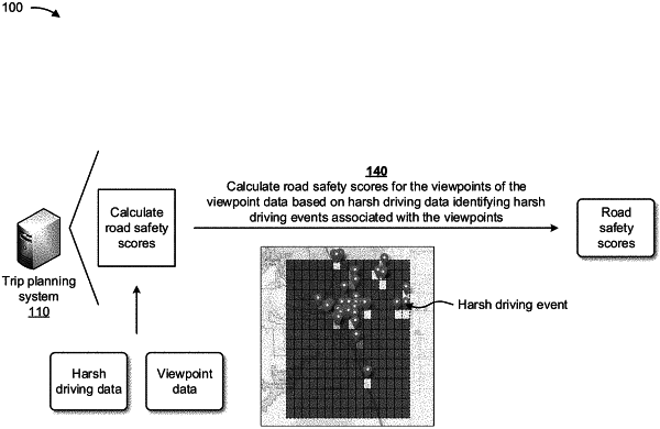
calculating the viewpoint relevance scores based on a number of harsh driving events associated with the sub-region and the plurality of panoramic interest scores;
determining, by the device and based on the viewpoint data and the trip data, a plurality of paths for the trip and driving times for the plurality of paths;
calculating, by the device, an optimized path, from the plurality of paths, based on the viewpoint relevance scores and the driving times associated with the plurality of paths; and
causing, by the device, an autonomous vehicle to navigate the optimized path.
|