| CPC G06T 17/00 (2013.01) [G01C 21/3667 (2013.01); G01S 17/88 (2013.01); G01S 17/89 (2013.01); G06F 18/2113 (2023.01); G06F 18/24 (2023.01); G06T 15/205 (2013.01); G06T 17/05 (2013.01); G06T 17/20 (2013.01); G06V 10/44 (2022.01); G06V 20/20 (2022.01); G06V 20/56 (2022.01); G06V 20/58 (2022.01); G06T 2207/10028 (2013.01); G06T 2210/56 (2013.01)] | 20 Claims |
|
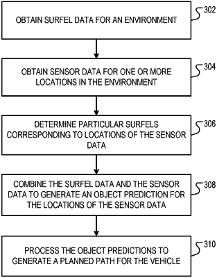
1. A computer implemented method comprising:
obtaining a three-dimensional surfel representation of a real-world environment generated from initial sensor data captured by a plurality of vehicles traveling in the real-world environment, the surfel representation comprising a plurality of surfels,
wherein each of the surfels corresponds to a respective location of plurality of locations in a three-dimensional space of the real-world environment, and
wherein multiple surfels of the plurality of surfels are associated with a plurality of different classifications;
selecting one or more surfels of the surfel representation having a particular classification of the different classifications;
receiving input sensor data from one or more sensors installed on a first vehicle, the input sensor data indicating an observation of at least a portion of the real-world environment;
comparing the input sensor data captured by the first vehicle to the surfel representation generated from the initial sensor data captured by the plurality of vehicles to identify one or more differences between the observation and the surfel representation,
wherein comparing the input sensor data to the surfel representation comprises performing feature matching using the sensor data and the surfel representation to identify one or more features in the sensor data that match corresponding one or more features in the surfel representation; and
calibrating at least one sensor of the one or more sensors using the one or more differences between the observation and the surfel representation.
|