| CPC G01C 21/3476 (2013.01) [B60W 60/001 (2020.02); G01C 21/3679 (2013.01); G01C 21/3691 (2013.01); G01C 21/3889 (2020.08); B60W 2552/00 (2020.02); G06F 18/25 (2023.01); G06V 20/56 (2022.01)] | 20 Claims |
|
1. A method comprising:
obtaining, by one or more processors, area information of at least one area of interest for a vehicle;
identifying, by the one or more processors, occlusion data associated with the at least one area of interest;
determining, by the one or more processors, occlusion information associated with the at least one area of interest based on the area information of the at least one area of interest and the occlusion data associated with the at least one area of interest, the occlusion information having a smaller data size than the occlusion data, wherein determining the occlusion information comprises
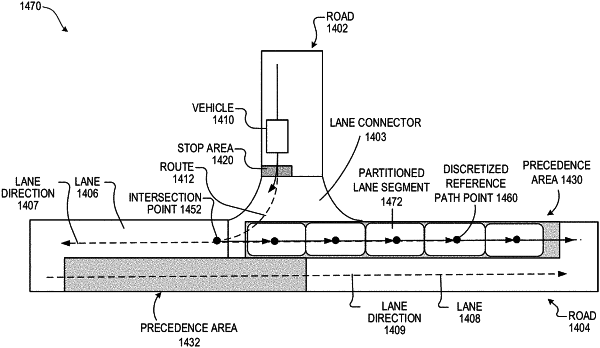
determining a respective level of occlusion for each of a plurality of partitioned segments associated with the at least one area of interest, the plurality of partitioned segments comprising lane segments of one or more lanes associated with the at least one area of interest, the lane segments being sorted along at least one lane direction of the one or more lanes wherein the respective level of occlusion represents a confidence level of occlusion;
updating, by the one or more processors, the occlusion information based on a velocity attribute and a direction attribute of at least one occluded object in the at least one area of interest, wherein updating the occlusion information comprises
updating at least one respective level of occlusion of at least one partitioned segment of the plurality of partitioned segments according to a motion of the at least one occluded object in the at least one area of interest, the motion being based on the velocity attribute of the at least one occluded object;
planning, by the one or more processors, a route for the vehicle according to the updated occlusion information; and
controlling, by the one or more processors, the vehicle to move in accordance with the planned route.
|