| CPC G01C 21/3423 (2013.01) [G01C 21/3415 (2013.01); G01C 21/3438 (2013.01); G01C 21/3492 (2013.01); G08G 1/141 (2013.01)] | 17 Claims |
|
1. A method for providing an isoline map of a time to park at a destination, comprising:
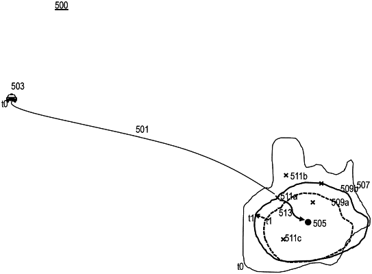
computing, by a processor, the time to park at a destination of a navigation route, wherein the time to park represents an estimated time that is needed for a vehicle to park within a geographic area surrounding the destination, wherein the time to park is computed based on at least real-time parking information; and wherein the time to park is a difference in time between the time of reaching the geographic area surrounding the destination and the time of reaching a parking space within the geographic area surrounding the destination;
determining an isoline that delineates a boundary of the geographic area, wherein the isoline indicates an extent of the geographic area in which the time to park applies;
providing data to generate a user interface depicting a representation of the isoline with respect to the destination in the isoline map;
determining at least one alternate mode of transport that is located beyond the boundary of the geographic area delineated by the isoline and that has an estimated time of arrival less than the time to park, wherein the vehicle position is obtained from one or more location sensors;
determining that the time to park at the destination is increasing or decreasing over a monitored time period; and
updating the representation of the isoline in the isoline map in real-time to indicate the increasing or the decreasing of the time to park.
|