| CPC G08G 5/0043 (2013.01) [G01C 21/005 (2013.01); B64D 43/02 (2013.01)] | 20 Claims |
|
1. A method of regenerating at least a portion of a flight plan of a vehicle, the method comprising:
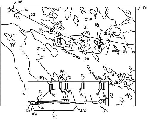
receiving, by one or more processors of a first system, speed data, altitude data, and flight path data for a flight path of the vehicle, the first system comprising a navigation system of the vehicle, the flight path data including boom footprints for one or more locations along the flight path, each boom footprint including a plurality of points;
generating, using the one or more processors of the navigation system of the vehicle, a first adjustment to at least one of a speed, an altitude, and a heading for one or more locations along the flight path within at least one of a predetermined distance of the vehicle and a predetermined window of time, based on at least the received speed data, altitude data, and flight path data, including a first subset of the plurality of points of each boom footprint, and a permissible threshold boom value for each of the one or more locations;
regenerating, using the one or more processors of the navigation system of the vehicle, a portion of a flight plan corresponding to the one or more locations, based on the generated first adjustment to the at least one of the speed, the altitude, and the heading for the one or more locations;
generating, using one or more processors of a second system, a second adjustment to at least one of the speed, the altitude, and the heading for one or more locations along the flight path;
regenerating, using the one or more processors of the second system, a portion of the flight plan corresponding to the one or more locations, based on the generated second adjustment to the at least one of the speed, the altitude, and the heading for the one or more locations; and
transmitting the regenerated flight plan generated by the second system to the navigation system of the vehicle as a command that controls the vehicle.
|