| CPC G06T 7/37 (2017.01) [B64C 39/024 (2013.01); G01S 17/933 (2013.01); G05D 1/104 (2013.01); G06T 7/70 (2017.01); B64U 10/13 (2023.01); B64U 2101/30 (2023.01); G06T 2207/10032 (2013.01); G06T 2207/20064 (2013.01); G06T 2207/30241 (2013.01)] | 20 Claims |
|
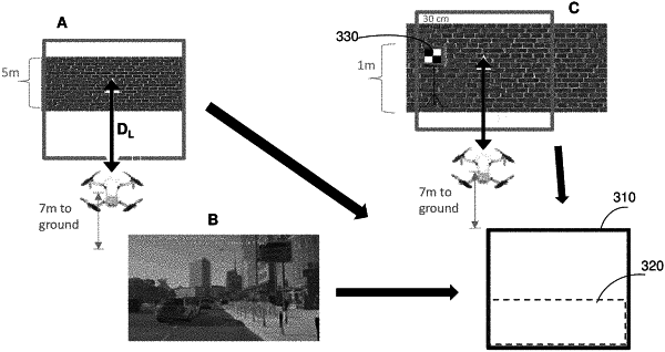
1. A method for optimizing image capture of a scene by a swarm of drones comprising a root drone and first and second level-1 drones; the method comprising:
the root drone following a predetermined trajectory over the scene, capturing one or more root keyframe images, at a corresponding one or more root drone orientations and a corresponding one or more root drone-to-scene distances; and
for each root keyframe image:
the root drone generating a ground mask image for that root keyframe image after that root keyframe image is captured, and applying that ground mask image to the root keyframe image to generate a target image;
the root drone analyzing the target image to generate first and second scanning tasks for the first and second level-1 drones, wherein each scanning task comprises capturing a plurality of images of the scene at a level-1 drone-to-scene distance smaller than the root drone-to-scene distance; and
the first and second level-1 drones carrying out the first and second scanning tasks respectively.
|