| CPC G01N 33/0098 (2013.01) [G06T 7/0016 (2013.01); G06V 20/10 (2022.01); G06V 20/188 (2022.01); G06V 30/18124 (2022.01); G06F 18/00 (2023.01); G06F 2218/08 (2023.01); G06T 2207/10024 (2013.01); G06T 2207/10032 (2013.01); G06T 2207/10048 (2013.01); G06T 2207/30188 (2013.01); G06V 20/17 (2022.01); G06V 20/68 (2022.01); Y10T 137/189 (2015.04)] | 4 Claims |
|
1. A method of analyzing a field, the method comprising
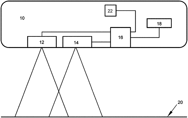
positioning an imaging system in an aircraft;
simultaneously acquiring with the imaging system an aerial thermal image and an aerial digital visual image of at least a portion of the field that contains bare soil having substantially no vegetation while the aircraft is in flight over the field, the aerial thermal image being acquired by measuring infrared radiation emittance of the bare soil and comprising pixels indicative of different levels of thermal energy emitted by the bare soil within the portion of the field while the aircraft is in flight over the field, and the aerial digital visual image being indicative of the light reflected by the bare soil within the portion of the field while the aircraft is in flight over the field;
processing the aerial thermal image to assess relative variations in temperatures of the bare soil within the portion of the field by assessing variations in the pixels of the aerial thermal image;
processing the aerial digital visual image to assess relative variations in light reflectance of the light in the aerial digital visual image and assign an intensity value to each of the pixels of the aerial digital visual image across the field; and
analyzing the relative variations in the temperatures across the field and the relative variations in the light reflectance across the field to identify soil types within the portion of the field, wherein the aerial thermal image is used to compensate for moisture in the field.
|