| CPC G01C 21/3815 (2020.08) [G01C 21/3415 (2013.01); G01C 21/3453 (2013.01); G06F 16/29 (2019.01)] | 19 Claims |
|
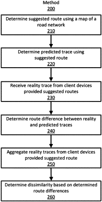
1. A computer executed method for determining an alternate route based on a state of a particular road segment in a road network using a processor, the method comprising:
receiving telematics data representing a plurality of realized routes, each realized route including a plurality of road segments traversed by a client device along a route in the road network from a first location to a second location and wherein the telematics data represents a stream of GPS location data received as client devices travel realized routes;
determining a plurality of paths from the plurality of road segments, wherein each path includes three road segments and two nodes connecting the three road segments and the plurality of paths, in aggregate, represent the plurality of realized routes;
for a particular path of the plurality of paths:
determining a current score representing how often the particular path including three road segments and two nodes connecting the three road segments occurs in the received plurality of realized routes;
accessing a historic score representing how often the particular path including three road segments and two nodes connecting the three road segments is expected to occur in traces traversing the road network from the first location to the second location along a suggested route;
determining a current state of the particular path based on a difference between the historic score and the current score; and
responsive to the determined current state being different than a historic state for the particular road segment, storing the current state for the particular path including three road segments and two nodes connecting the three road segments as the historic state of the particular path including three road segments and two nodes connecting the three road segments.
|