| CPC G01C 3/02 (2013.01) [G01B 21/22 (2013.01); G01C 11/00 (2013.01); G01C 15/002 (2013.01); G01P 13/00 (2013.01)] | 15 Claims |
|
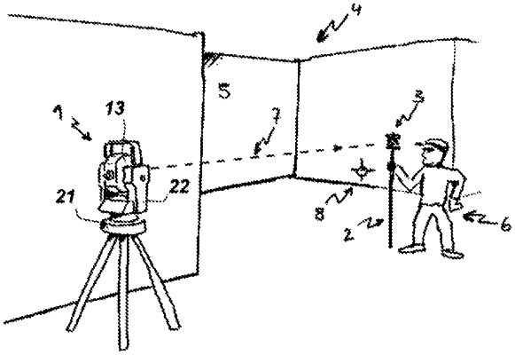
1. A surveying instrument comprising:
a base unit;
a support unit mounted on the base unit and rotatable relative to the base unit around a yaw axis;
a first actuator configured for rotating the support unit relative to the base unit around the yaw axis;
a first angle encoder configured for measuring a rotatory position of the support unit relative to the base unit around the yaw axis;
a targeting unit comprising a distance meter having a measuring axis, the targeting unit being mounted on the support unit and being rotatable relative to the support unit around a pitch axis;
a second actuator configured for rotating the targeting unit relative to the support unit around the pitch axis;
a second angle encoder configured for measuring a rotatory position of the targeting unit relative to the support unit around the pitch axis;
a tracking unit configured for detecting one or more target points within a detection range, wherein the measuring axis converges with or extends entirely within the detection range; and
a control unit configured for
reading the distance meter, the first angle encoder, the second angle encoder, and the tracking unit,
controlling the first actuator and the second actuator, and
executing a relocation functionality comprising:
determining first coordinates of a first stationary target point,
receiving a start signal, wherein the first coordinates of the first stationary target point are associated with the start signal,
in response to the start signal, controlling the first actuator and the second actuator in such a way that the first stationary target point remains within the detection range,
determining second coordinates of the first stationary target point,
receiving an end signal, wherein the second coordinates of the first stationary target point are associated with the end signal, and
based at least in part on the first and second coordinates of the first stationary target point, determining a relative pose of the surveying instrument with respect to a first setup location and a second setup location, wherein the first setup location is associated with the first coordinates and the second setup location is associated with the second coordinates.
|