| CPC H04N 13/243 (2018.05) [G06T 7/0002 (2013.01); H04N 13/282 (2018.05); G06T 2207/10021 (2013.01); G06T 2207/30168 (2013.01)] | 14 Claims |
|
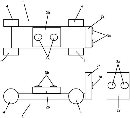
1. A method for obtaining a three-dimensional model of an inspection site, using a perception module, the perception module comprising a detection unit configured to obtain a three-dimensional image, the detection unit comprising at least a first camera and a second camera, the first camera having a first detection direction and a first viewing field, and the second camera having a second detection direction and a second viewing field,
wherein the first detection direction and the second detection direction are fixed relative to each other, and
wherein the first viewing field and the second viewing field define an overlapping zone,
the method comprising the steps of:
obtaining at least one three-dimensional image by means of the detection unit by capturing images by means of the first camera and the second camera of the detection unit, and obtaining the three-dimensional image, based on the captured images,
creating a three-dimensional model of surroundings of the perception module, based on the obtained three-dimensional image(s),
comparing the created three-dimensional model and a plan of the inspection site and matching features of the created three-dimensional model and features of the plan of the inspection site, and
forming a site-specific three-dimensional model of the inspection site, based on the created three-dimensional model and the plan of the inspection site, and based on the comparison,
wherein the method further comprises the step of evaluating quality of the obtained three-dimensional image by performing the steps of:
capturing a first image and a second image by means of one of the cameras, the first image being captured at a first point in time and the second image being captured at a second point in time, where a time difference is defined between the first point in time and the second point in time, and where a relative movement between the perception module and the surroundings is taking place from the first point in time to the second point in time,
identifying at least one feature present in the first image and in the second image,
comparing a first position of the identified feature within the first image and a second position of the identified feature within the second image to an expected movement of the identified feature from the first point in time to the second point in time, corresponding to the relative movement between the perception module and the surroundings, and
evaluating quality of the obtained three-dimensional image based on the comparison.
|