| CPC G06V 20/13 (2022.01) [G06F 18/213 (2023.01); G06F 18/23 (2023.01)] | 18 Claims |
|
1. A system for integrative computational soil mapping, the system comprising:
a computer having a processor and a memory; and
a software module stored in the memory, comprising executable instructions that when executed by the processor cause the processor to:
receive electronic data representing soil information for an area of interest;
automatically or semi-automatically generate environmental layers using spatial analysis related to a cluster category;
automatically or semi-automatically perform selection of environmental layers;
automatically or semi-automatically perform data dimensionality reduction for environmental layers in each cluster category;
automatically or semi-automatically perform cluster analysis for each cluster category;
automatically or semi-automatically generate generic soil-landscape classes from spatial interactions of clustering groups across the cluster categories;
assign at least one soil property measurement to each generic soil-landscape class;
generate a digital soil map of the soil property measurement for the area of interest;
output the digital soil map to an electronic display for a user;
group the environmental layers according to the cluster category;
select the environmental layers that capture a predetermined amount of variability in environmental conditions of the area of interest;
automatically or semi-automatically reduce the data dimensionality of environmental layers using the Self Organizing Map technique;
automatically or semi-automatically recognize patterns of interaction between the selected environmental layers using cluster analysis;
automatically determine an optimum number of the clustering groups in each cluster category;
automatically predict and map a statistical distribution of the selected environmental layers for each clustering group using locally weighted polynomial regression;
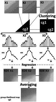
automatically generate a group-likelihood map that represents a likelihood of occurrence for each clustering group across the area of interest;
automatically generate a generic soil-landscape class map using the generic soil-landscape class for each clustering group;
automatically generate a single class-likelihood map representing the likelihood of occurrence for the generic soil-landscape class across the area of interest;
assign a soil sample location on the class-likelihood map for each generic soil-landscape class where an utmost likelihood of occurrence for the generic soil-landscape class across the area of interest exists;
assign the soil property measurement for each soil sample location on the class-likelihood map to each generic soil-landscape class;
automatically perform spatial modeling of the soil property measurements;
generate the digital soil map of the modeled soil property measurements; and
output the digital soil map to the electronic display for the user.
|